KON TUM PROVINCE, CENTRAL HIGHLANDS
Kon Tum Province General Information
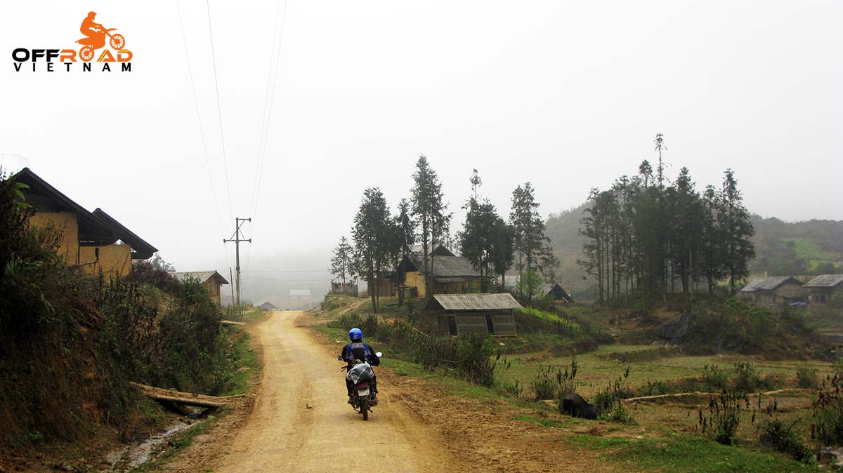
Kon Tum Province, Central Highlands
Region: Central Highlands
Capital: Kon Tum
Area: 9,674.18 km²
Population: 540,438 (2019 Census)
Density: 56/km²
Demographics: Vietnamese, Xo Dang, Ba Na, Gie Triêng, and Ra Glai
Calling code: 260
Website: www.kontum.gov.vn
Kon Tum Province lies in the Central Highlands region of Vietnam and shares borders with Laos and Cambodia. It has an area of 9,934 square km and a population of approximately 330,000. The economy is primarily agricultural. It’s one of the least populated provinces in Vietnam.
Name
The name Kon Tum comes from the name of a village of the Bahnar ethnic group. In the Bahnar language, kon means “village” and tum means “pool”.
Kon Tum Province Administration
Kon Tum is subdivided into ten district-level sub-divisions:
Kon Tum city
Dak Glei District
Dak Hà District
Dak Tô District
Ia H’Drai District
Kon Plông District
Kon Ray District
Ngoc Hoi District
Sa Thay District
Tu Mo Rông District
They are further subdivided into six commune-level towns (or townlets), 83 communes, and 10 wards.
Geography
Kontum is on Central Highlands. It shares the border with Laos, Cambodia on the west, Quang Nam Province on the north, Quang Ngai Province on the east, and Gia Lai Province on the south.
On the north, there is the highest granite mountain region in Southern Vietnam with Ngok Linh 2,598m and Ngoc Phan 2,251m. It is the source of Tranh, Thu Bon, Tra Khuc, Ba rivers.
Forest covers 50% of the total of the Kontum area with valuable wood, rare birds. Basalt soil is suitable to plan rubber, coffee, tea, sugar cane. The province has 26,000ha of grassland that gives good conditions to raise cattle.
Climate: Kontum has a feature climate of Central Highlands. That is a tropical monsoon one. There are two seasons. The rain season lasts from May to October. The dry season lasts from November to April next year. The annual average temperature is 23.4oC. The annual average rainfall is 1,884mm.
Tourism
Coming to Kontum, visitors enjoy mountainous landscapes like Ngoc Linh Mountain, Chu Mon Ray Primitive Forest, Dak Tre Tourist Site, and Dak To Hot Spring. Tourists are interested in historical relics such as Kontum Former Prison, Dak Glei Prison, Ho Chi Minh Trail, Dak To, Tan Canh Battle Field.
Visitors would observe beautiful wooden stilt houses in Ba Na villages and Communal House (Nha Rong) that only be found in villages on the north of the Central Highlands.
Ethnic groups
Ethnic minorities make up 51% population of Kontum. Most of them are Ba Na, Xo Dang, Gie Trieng, Gia Rai, B’Rau, and Ro Man. They work on fields in the mountains
Kontum has colourful, diversified culture of ethnic groups. Their customs are unique with special traditional festivals like cong chieng (gongs), buffalo stabling, leaving- the- tomb, new rice festivals.
Transportation
Kontum is 246km from Buon Ma Thuot, 215km from Quy Nhon, 49km from Pleiku. National Highway No.14 runs from west of Quang Nam, via Kontum Town, then to Gia Lai, Dak Lak, Ho Chi Minh City. National Highway No.24 connects Kontum to Quang Ngai.
For more details about other provinces and cities of Vietnam, please follow this link.

Leave A Comment