DONG THAP PROVINCE, SOUTHERN VIETNAM
Dong Thap Province General Information
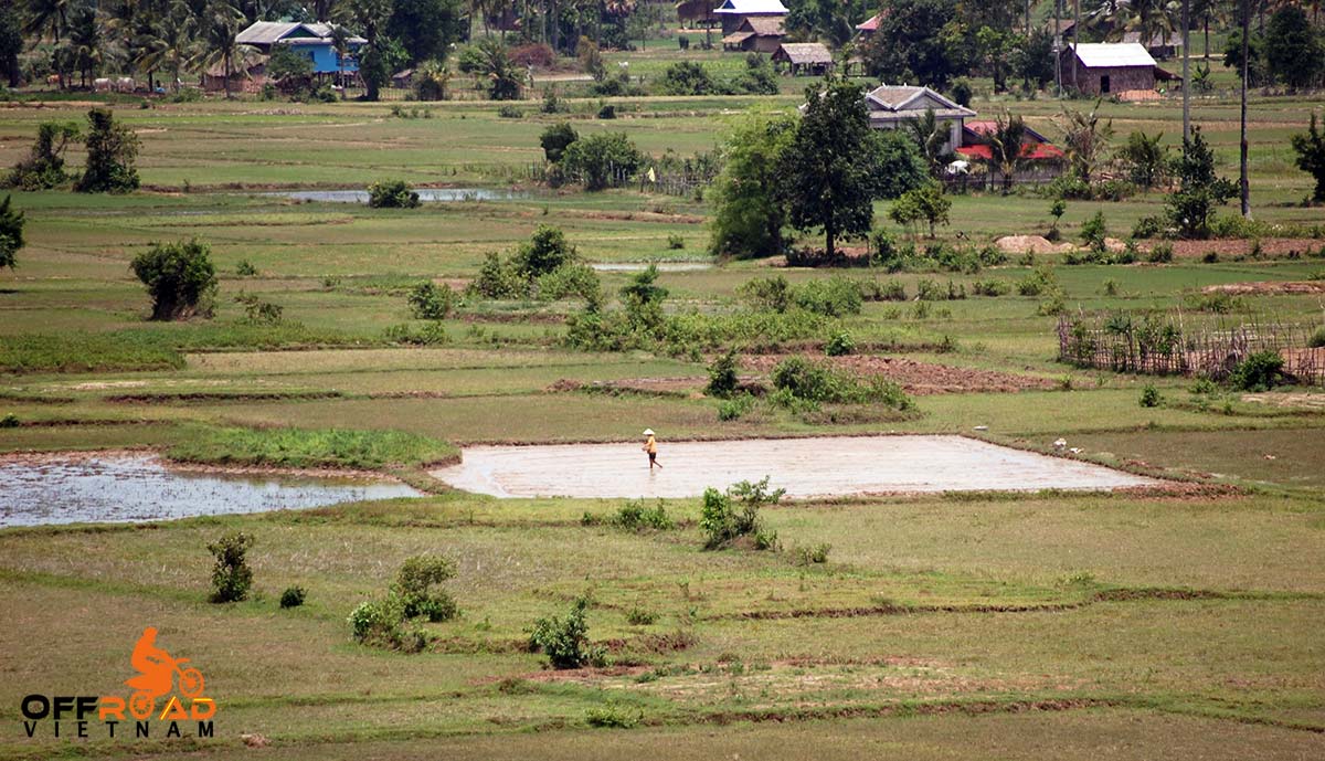
Dong Thap Province, Southern Vietnam
Capital: Cao Lanh
Area: 3,383.85 km²
Population: 1,599,504 (2019 Census)
Density: 473/km²
Demographics: Vietnamese, Khmer, Hoa, and Ngai
Calling code: 277
Website: www.dongthap.gov.vn
Dong Thap is a province in the Mekong Delta region of southern Vietnam. Dong Thap is 165 km away from Ho Chi Minh City, borders Pray Veng province (Cambodia) in the North with a length of more than 48 km; Vinh Long and Can Tho in the South; An Giang in the West; and Long An and Tien Giang in the East.
History
Sa Dec
Dong Thap is a newly-cultivated area in about the 17th and 18th century, under the Nguyen dynasties. Foundation of this area adhered to powerful struggling history against nature, dangerous animals and aggressors. The South of Dong Thap province whose centre is Sa Dec plays a very significant role. Many researches have shown that overseas Vietnamese got to come to the Sa Dec area for reclaiming and setting up hamlets at least at the end of the 17th century or at the beginning of the 18th century.
Sa Dec is a Khmer word meaning “iron market”. Does this market sell agricultural tools made of iron or was the frame of this market made of iron? There has not had any reasonable explanations for these concerns. However, Sa Dec is probably the newest area on the way to develop the country in 1757 by Nguyen Cu Trinh, a mandarin who was famous for his achievement in reassuring people in Quang Ngai. After the civil war between Nguyen Anh and Tay Son (Tây Son) siblings, Gia Long was on the throne to help stabilize Sa Dec and made it become a part of Vinh An (Vinh An) district. Sa Dec then with a favourable geographical location, did become the most crowded trading centre of Mekong Delta at that time, only smaller than Sai Gon (Sài Gòn), Cho Lon.
Cao Lanh
Cao Lanh (Cao Lãnh) located in the North of Tien river also has a glorious history. It is recorded in history books that at the end of the 17th century, or early in the 18th century, some overseas Vietnamese at Ba Canh hamlet (currently belonging to Dap Da commune, Dap Da town, Binh Dinh – Bình Ðinh- province) came to cultivate, settled down near Cai Sao Thuong (Cái Sao Thuong) rivulet, forming Ba Canh commune. Nguyen Tu was accredited with having gathered people, cultivated and set up hamlets. He was elevated to the status of Tien Hien – an anciently righteous person – of the village.
Nowadays, that stele is near Dinh Trung (Ðình Trung) bridge, Ward 2, Cao Lanh city. Cao Lanh (Cao Lãnh) used to be the stopover of many patriots such as Tran Chanh Chieu, Nguyen Sinh Sac etc. People in Cao Lanh consistently struggled, tremendously contributing to the absolute victory of South of Vietnam in historical campaign Ho Chi Minh, united the whole country, and Cao Lanh, since April 30, 1975, was merged with Sa Dec (Sa Ðéc) to become Dong Thap nowadays.
Geography
Topography
The topography of the province is quite flat with a sloping tendency from North to South and West to East; separating into 2 large regions: one in the North of Tien River (having an area of 250,731ha, in Dong Thap Muoi area) and one in the South of Tien River (having an area of 73,074ha, lying between Tien River and Hau River). Dong Thap benefits from a large river, channel and spring system, frequently silt-aggraded soil, and permanently fresh and non-saline water source.
Climate
Dong Thap is in the tropical climate zone, consistently in the whole province. There are two evident seasons; the rainy season from May to Nov, and the dry season from Dec to Apr of the following year. Average rainfall ranges from 1,682-2,005mm, mostly in the rainy season which accounts for 90-95% of annual rainfall. Such climate is fairly advantageous for agricultural development. The average temperature is 27oC, of which the highest is 34.3oC, and the lowest is 21.8oC. The hydrology of the province is under the influence of 3 factors: floodwater from the upper Mekong River, in-field rain and tides of the South East Asia Sea. The hydrologic regime has 2 seasons: exhausted season from Dec to Jun of the following year and flood season from Jul to Nov.
Dong Thap Province Administration
Dong Thap is subdivided into 12 district-level sub-divisions:
10 districts
Cao Lanh
Chau Thanh
Hong Ngu
Lai Vung
Lap Vo
Tam Nong
Tan Hong
Thanh Binh
Thap Muoi
3 provincial cities
Cao Lanh City (capital of the province)
Hong Ngu City
Sa Dec City
They are further subdivided into nine commune-level towns (or townlets), 129 communes, and 14 wards.
For more details about other provinces and cities of Vietnam, please follow this link.

I’m in United States. Just trying to learn about my fathers country. He is from Dongthap, Vietnam.
Thank you
You are welcome. I hope you found something here.